Your Map. Your Data. Uncompromised.
VenturePin is the ultimate mapping companion built for hikers, anglers, hunters, off-roaders, and outdoor explorers. Designed to capture and organize your adventures, VenturePin seamlessly combines high-performance Mapbox topographic terrain and satellite imagery with native Google Maps in a single, unified interface.
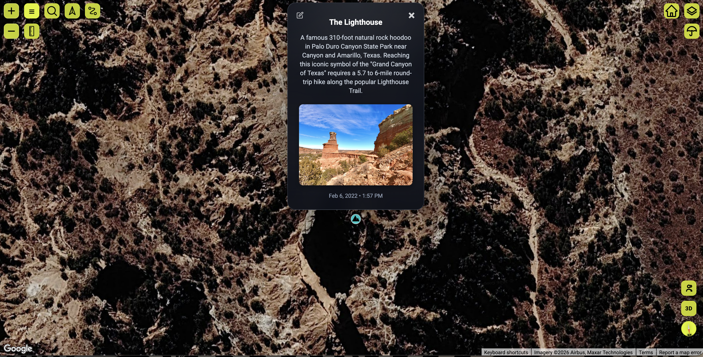
App vs. Website Synergy
VenturePin allows you to seamlessly scouting landmarks and access your coordinate libraries across multiple platforms.
- Big-Screen Pre-Trip Scouting: Plan routes and study terrain contour detail on a large, high-resolution desktop layout.
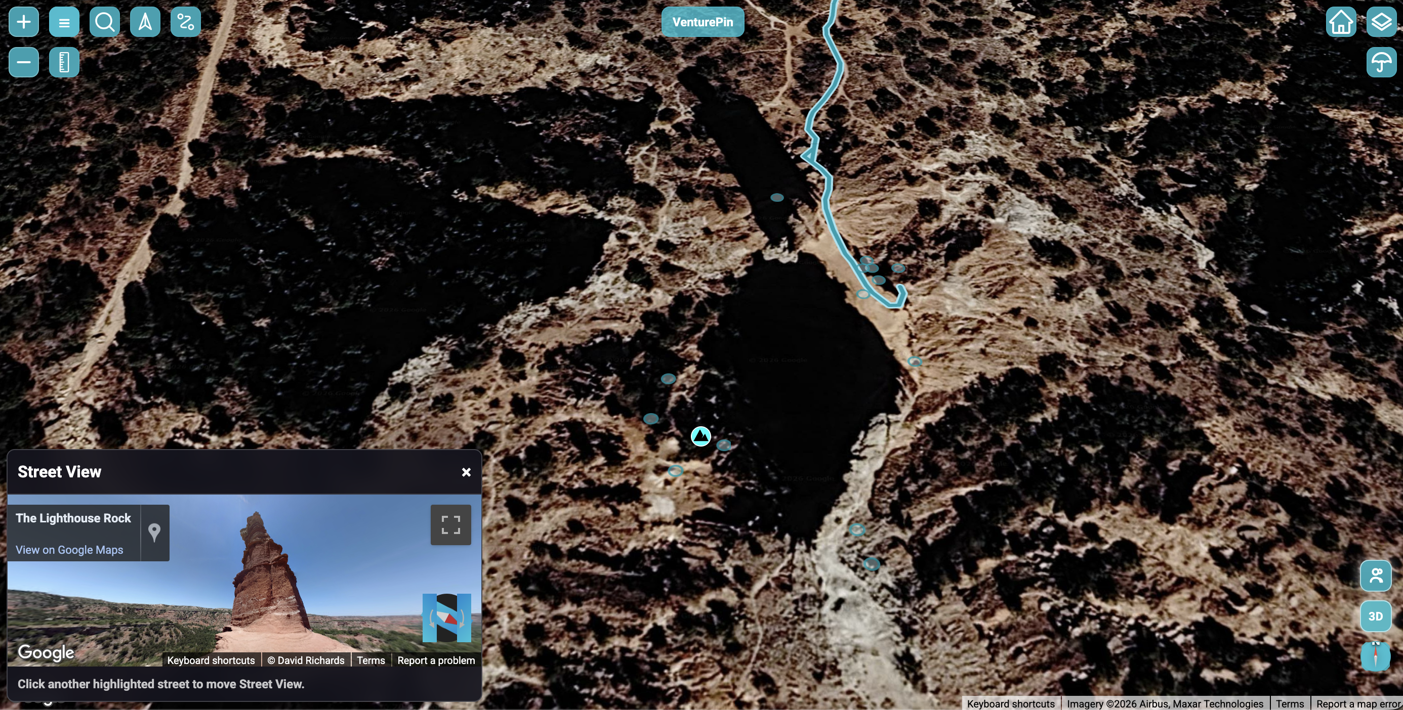
- Integrated Street View: Explore ground-level panoramas directly inside the web app dashboard window.
- Bulk Spatial File Management: Drag and drop large GPX, KML, KMZ, and CSV files directly from other apps like Google Earth.
- Memory Archive Center: Organize coordinate cards and review saved trails easily in your personal home library.
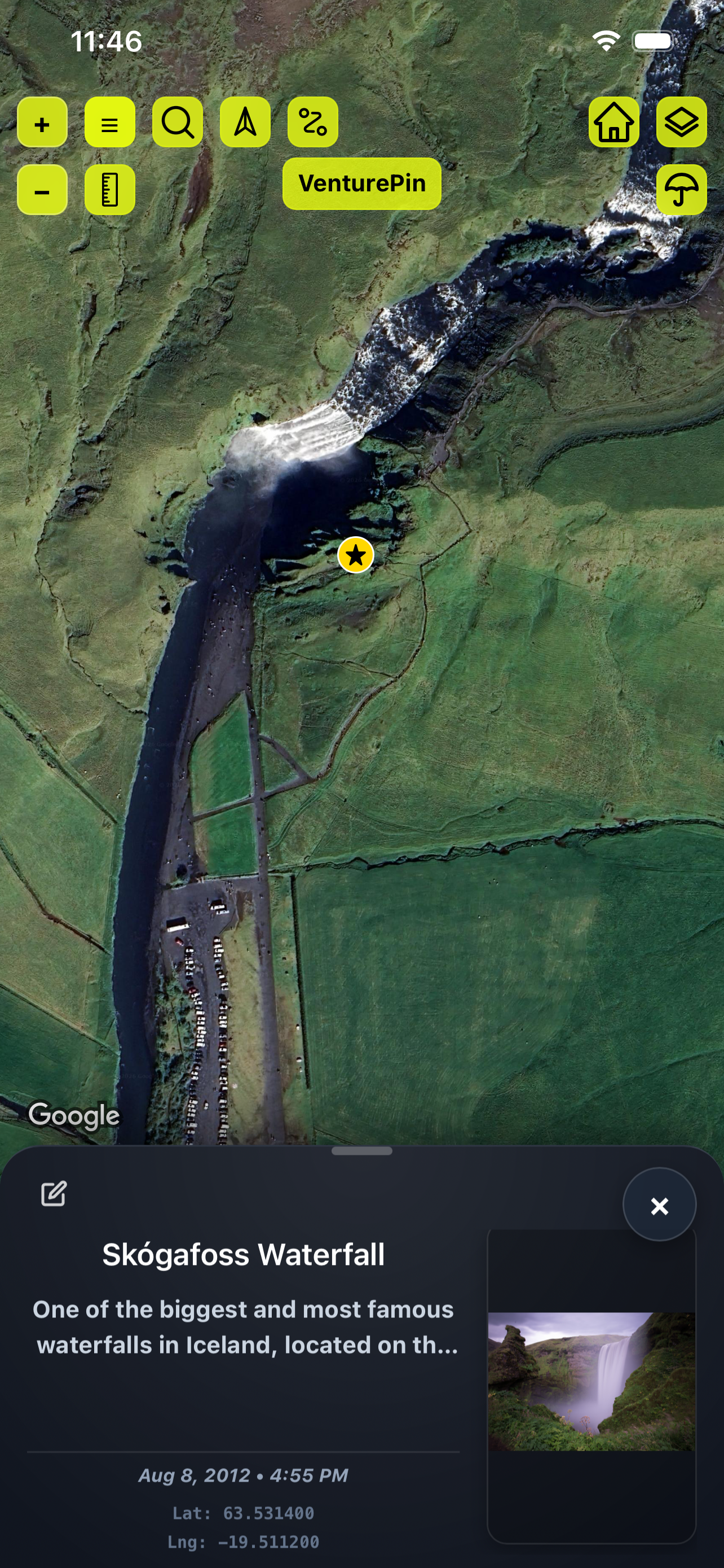
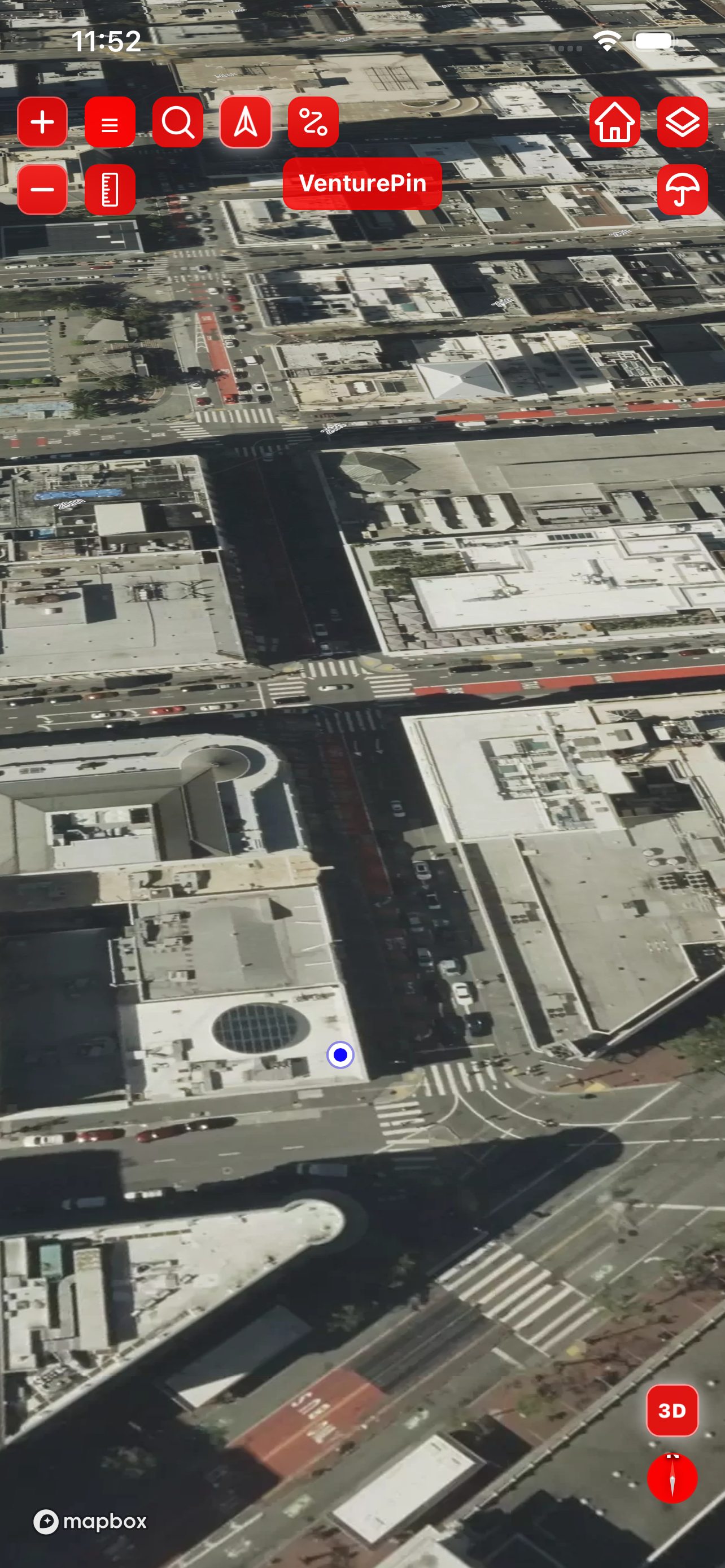
- Native Dual-Engine Views: Switch terrain views between Google Maps Satellite and Mapbox Outdoors contours instantly.
- Background GPS Trails Logging: Record your trail logs in real time with live mileage and duration metrics.
- Auto Camera Roll Mapping: Import any photo containing GPS EXIF tags, mapping it to the exact location.
- Offline Data Caching: Save coordinates off-grid without cell service, automatically syncing back when connected.
Engineered For Adventure
VenturePin combines topographic terrain, track loggers, and local databases to secure your spatial memory.
DUAL-ENGINE MAP VIEWS
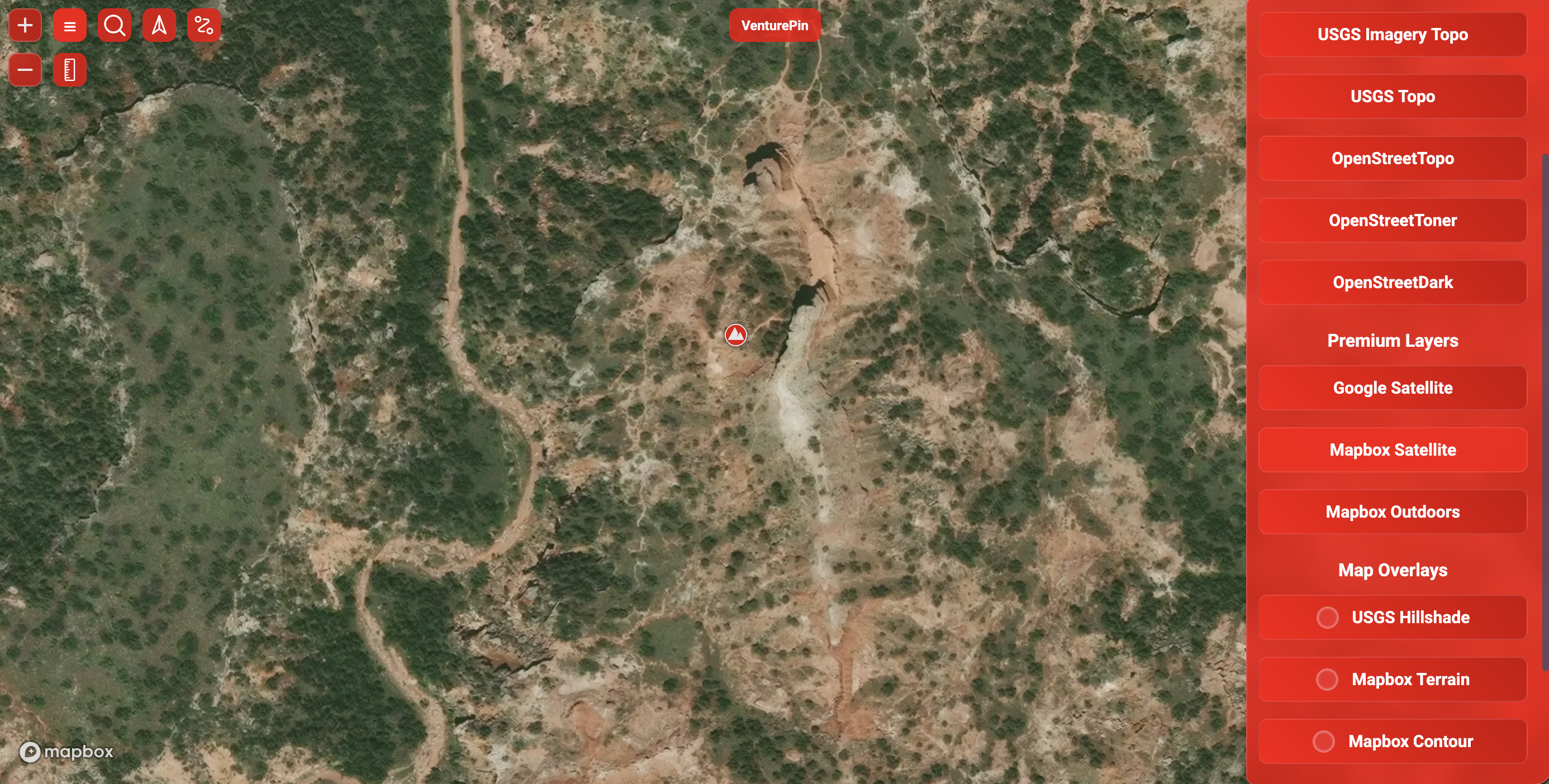
Seamlessly switch between Google Maps (high-resolution satellite, terrain, standard) and Mapbox (topographic, outdoors, satellite) to match your exact navigation terrain. Access USGS Hillshade, Mapbox Terrain, and Mapbox Contour overlays on Mapbox, and Google Street View integration on Web.
AUTO PHOTO-TO-POI IMPORT
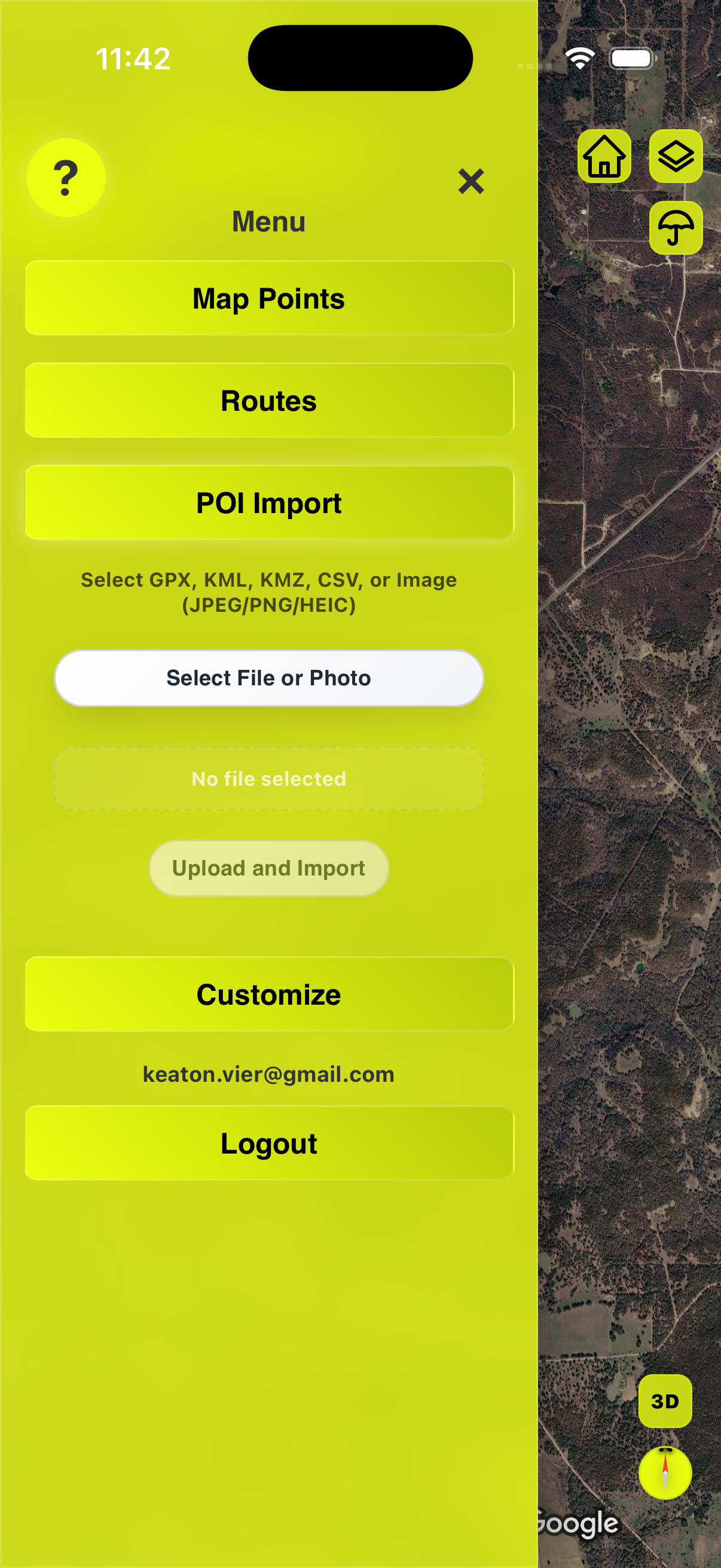
Import any photo with GPS metadata from your camera roll, and VenturePin automatically plots the waypoint at the exact coordinates where the shot was taken—complete with date and timestamp. You can also import multiple photos at once and export them collectively as a GPX file.
LIVE ROUTE RECORDING
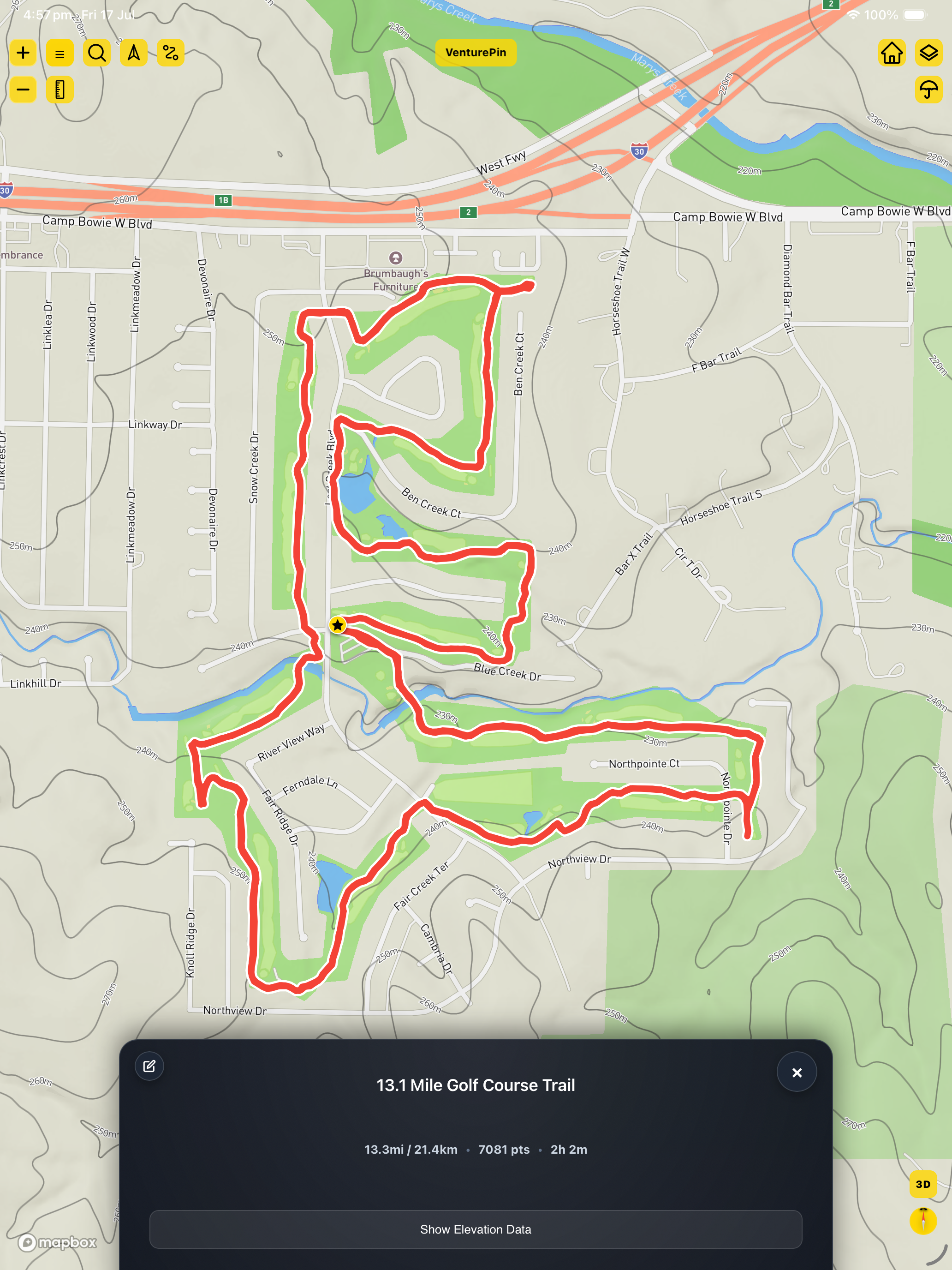
Tap record and log your path with real-time stats and live breadcrumbs. Full background location support lets you lock your screen or snap photos while tracking your trail. Real-time user location centering helps navigate paths easily.
MEASURING TOOL
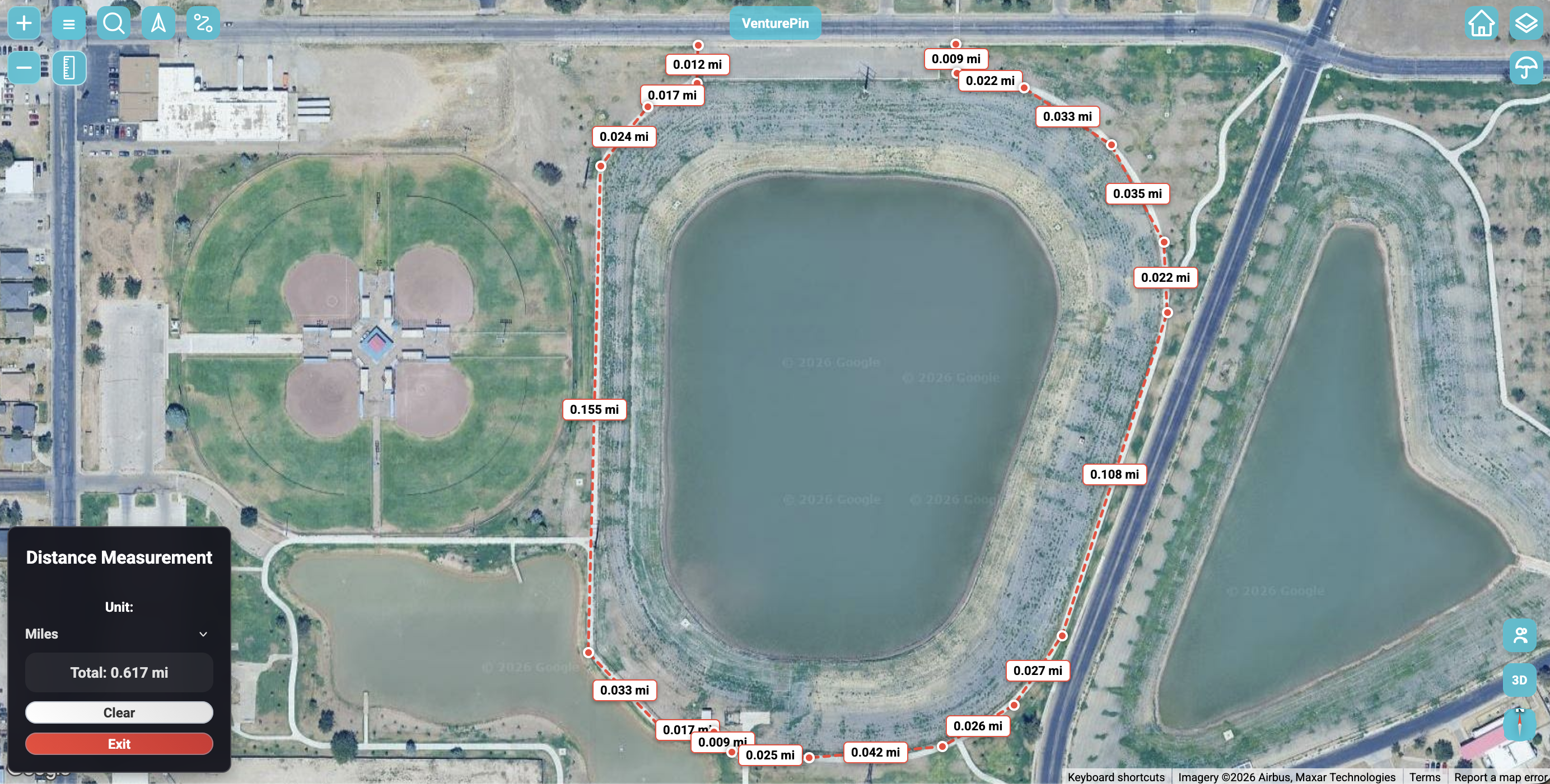
Easily measure trail distances and calculate custom land or water areas directly on the map with interactive point-to-point drawing. Ruler offers calculations in feet, meters, yards, and miles. Measurements lock to the coordinates during map tilt and rotation.
CUSTOM WAYPOINTS & POIS
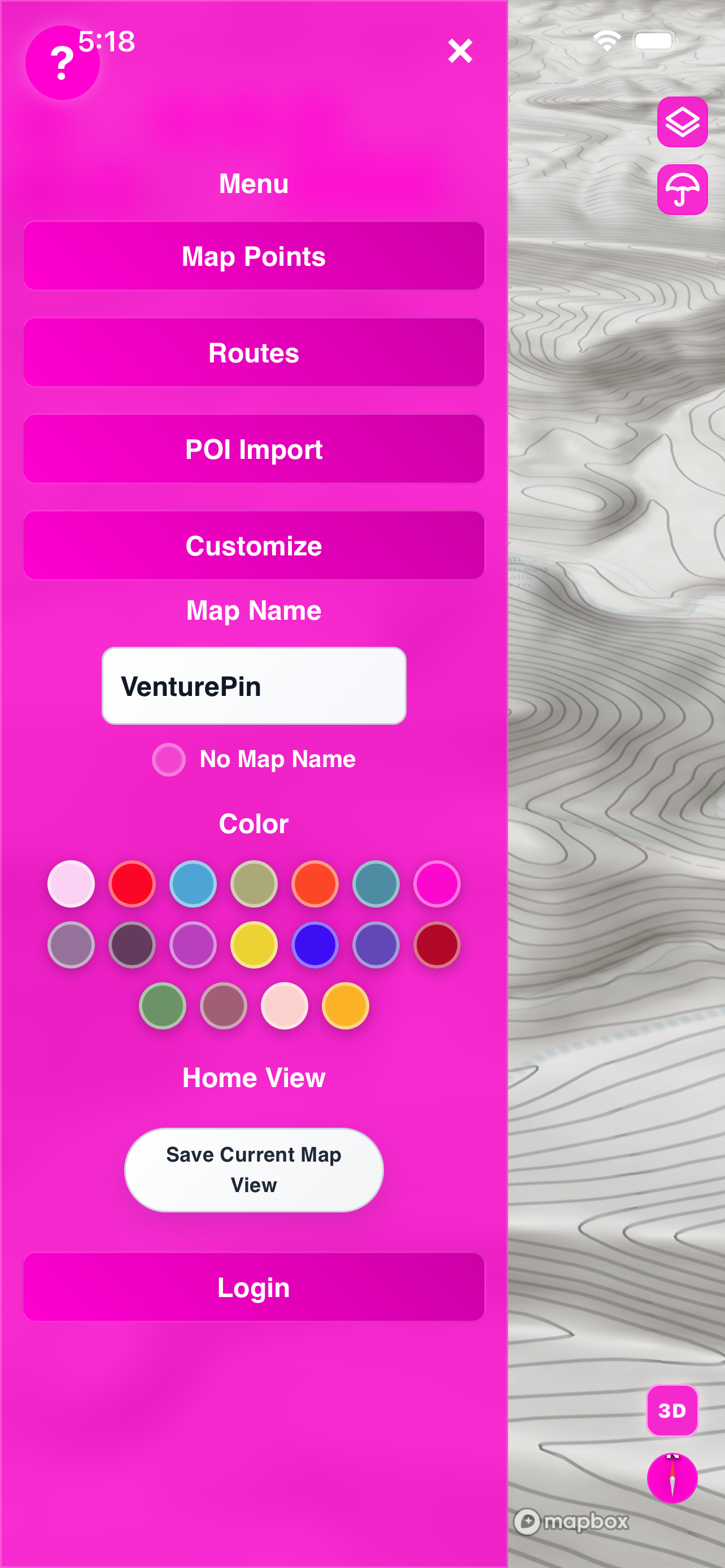
Drop precision markers anywhere. Customize icon styles and colors, add field notes, and attach multiple photos directly to your pin cards. Custom layers and home-saving function let you easily jump back to default locations.
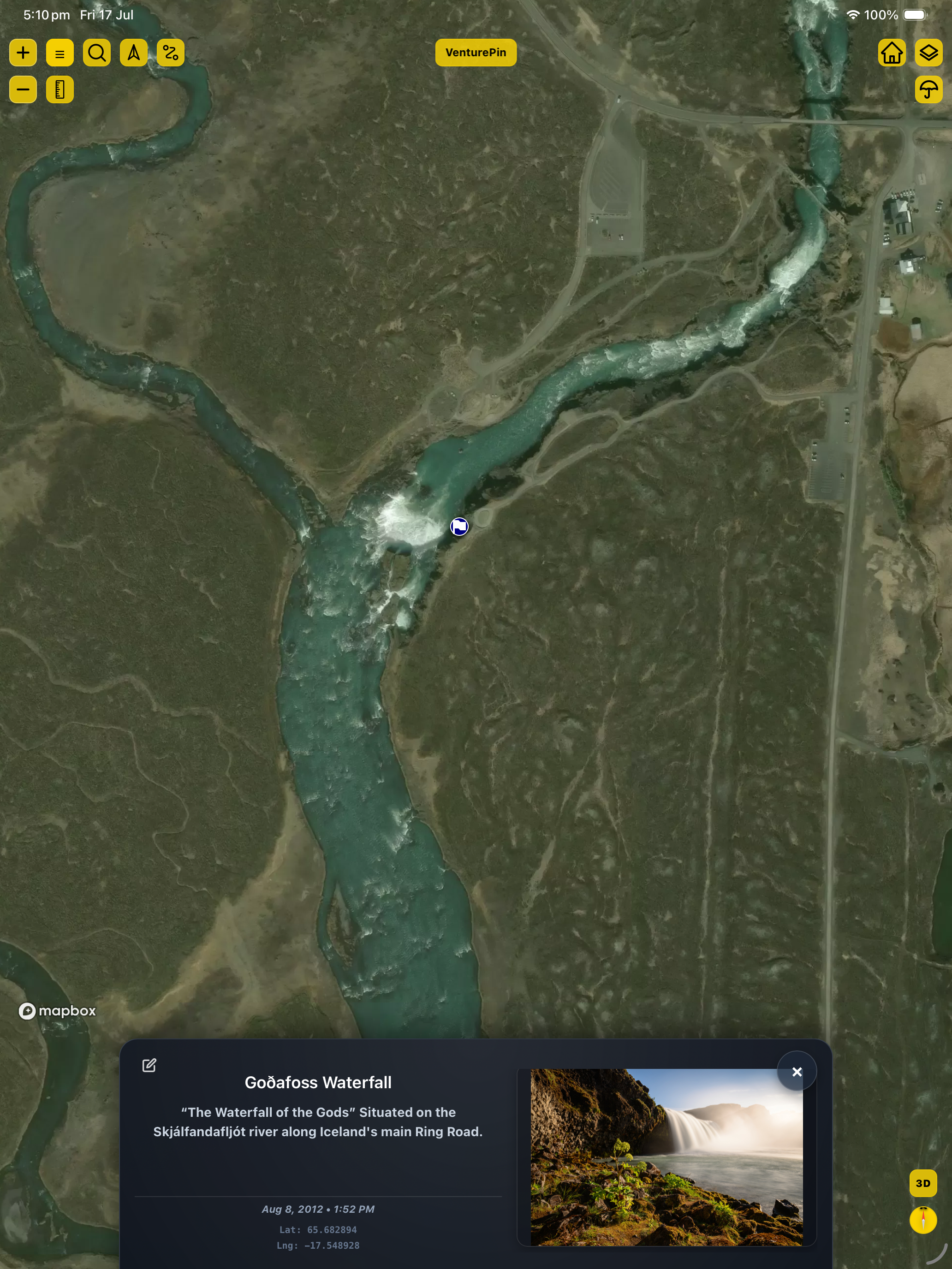
PIN & ROUTE LIBRARY
Search, organize, and toggle visibility on your custom points and recorded paths for a clean, clutter-free map. Search matches tags, custom names, or categories, and is powered directly by Geoapify.
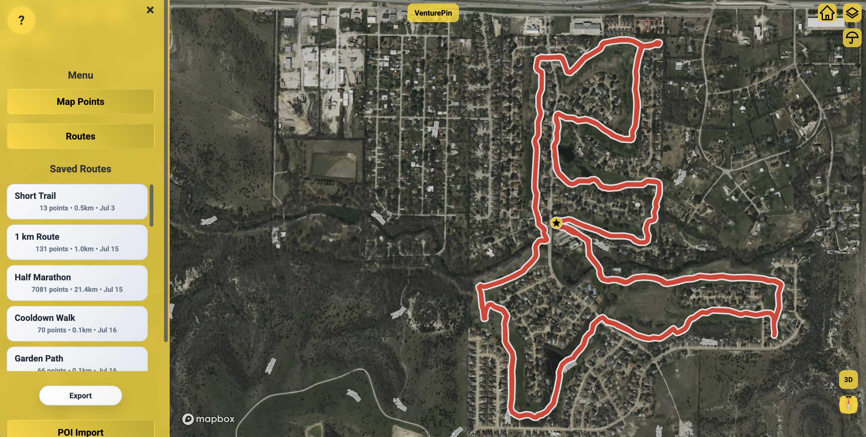
GPX, KML, KMZ & CSV IMPORT/EXPORT
Full spatial file support. Import existing trail data or export your tracks and POIs to share with friends and external GPS devices. Can handle huge bulk uploads, allowing easy file conversion (e.g. converting geotagged photos directly to a GPX coordinate list).
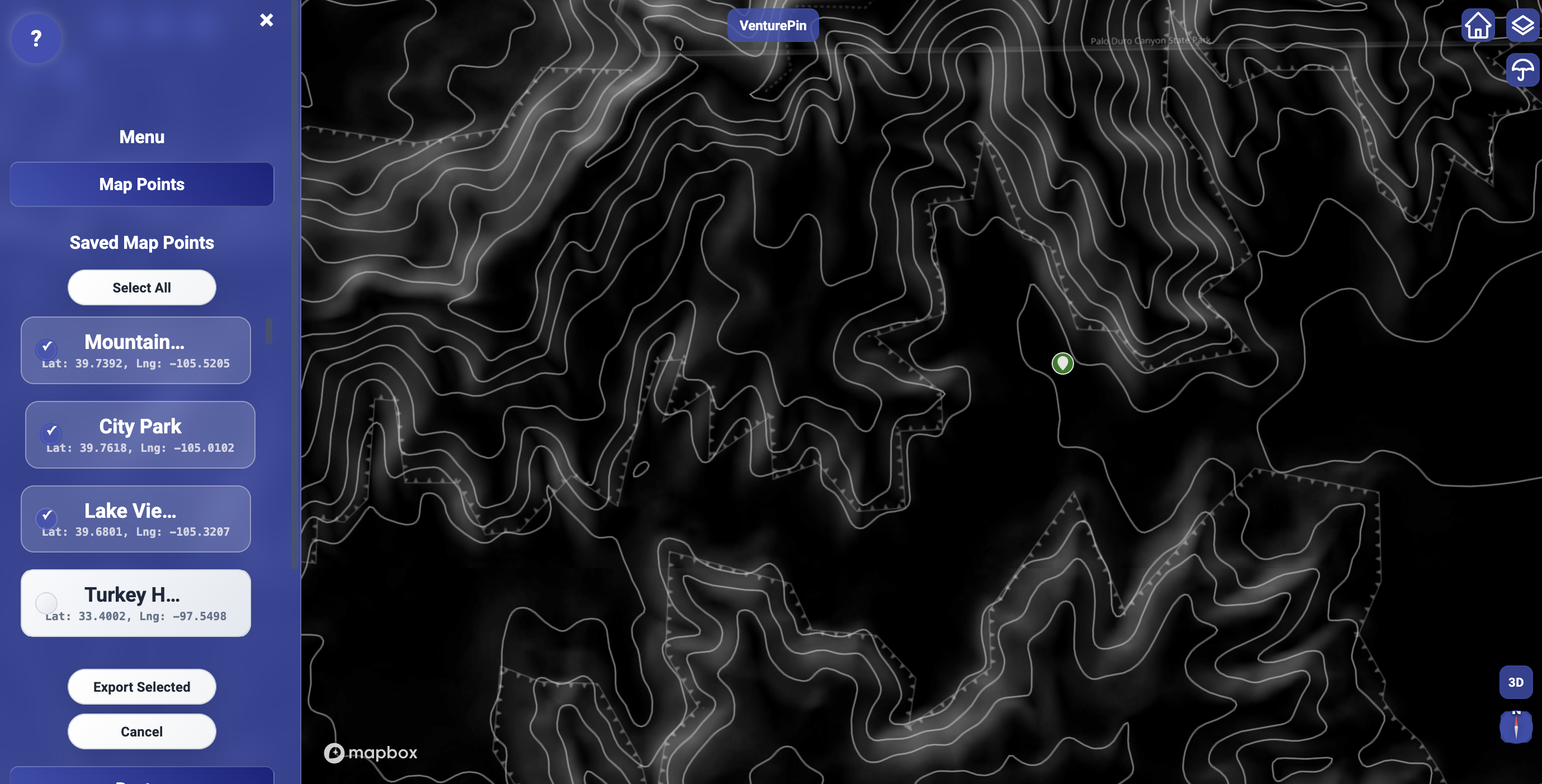
OFFLINE LOCAL DATA BUFFERING
Stay protected off-grid. Your waypoints and recorded tracks cache locally without cell service and automatically sync when connectivity returns. Local buffering protects private, proprietary land and water coordinates from unwanted sharing.
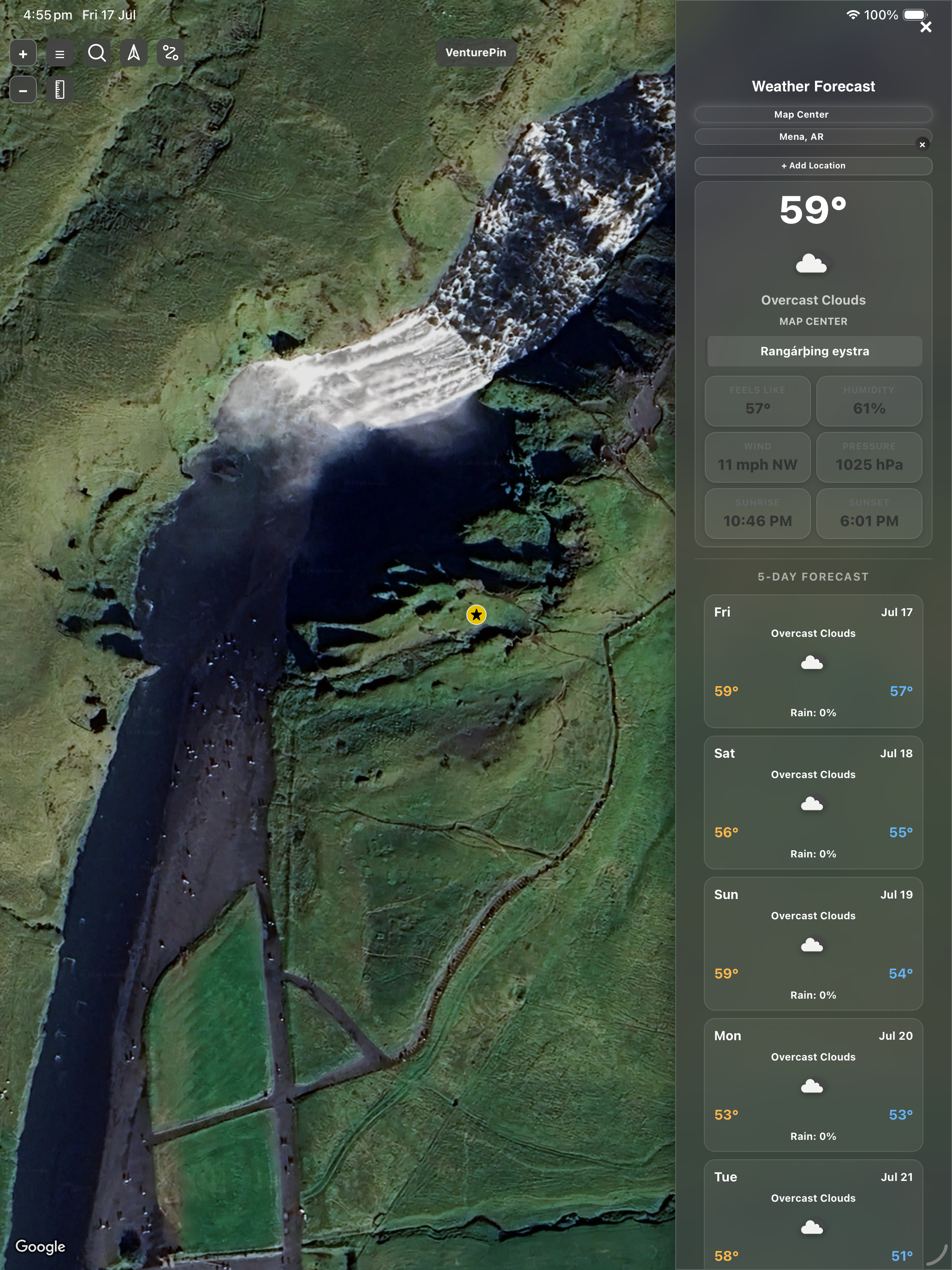
LIVE WEATHER FORECASTS
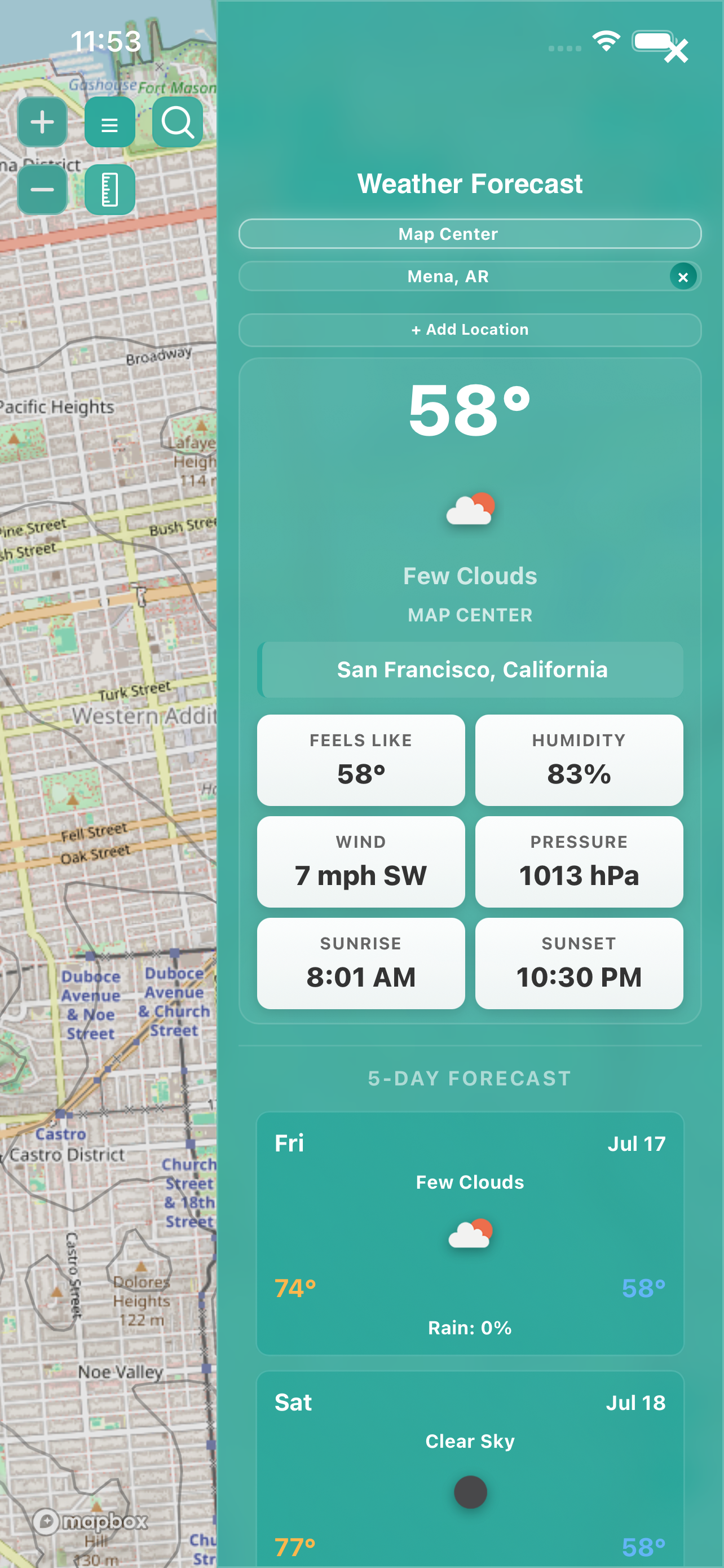
View real-time conditions, temperatures, and 5-day forecasts tied directly to your current map location. Weather sidebar shows forecasts for the active map center or user-saved locations they can tab through, listing conditions, wind speeds, pressure, humidity, sunrise, and sunset.
Geographical Measuring & Advanced Navigation
Professional metrics for backcountry exploration, planning, and route creation.
Interactive Routing & Custom Map Styling
Elevation Analysis Graph: Saved trails and routes can display a point-to-point elevation profile chart in the details popup to visualize vertical variations across the terrain.
Manual Route Mode: Pre-draw trail loops, pathways, and track tracks ahead of time. Serves as a dynamic drawing tool synced and usable simultaneously alongside the measure mode.
Custom Map Layers: Mapbox engine renders standard USGS layers, OpenStreet Topo, Mapbox Satellite, and Mapbox Outdoors. It also supports custom Toner and Dark CARTO layers built natively off OpenStreetTopo for high-contrast visibility.
Who Uses VenturePin?
VenturePin provides offline caching and spatial records organization to outdoorsmen across multiple fields.
Hikers & Explorers
Build custom catalogs of trail heads, campsites, scenic view spots, and paths with attached offline photo logs.
Runners & Cyclists
Log trail paths, record duration metrics, map out loops, and analyze distance charts.
Anglers & Hunters
Drop pins on active fishing structure, log catch data, map stands, track game movements, and verify border lines.
Land Managers & Realtors
Manage property lines, map gates, access roads, water tanks, property parcels, and track parcel directories.
VenturePin Fact Sheet
Quick technical specifications and reference facts about the platform.
Get In Touch
For press inquiries, feedback, or custom partnership opportunities.
Keaton Vier
Sole Creator & Developer, VenturePin
If you have a feature suggestion, want to write a story about VenturePin, or need help configuring custom layers, please reach out directly.
Email Support Team